Key Takeaways
- Site research should happen before detailed building plans are finalized.
- Property limits, zoning, road access, utilities, drainage, and environmental conditions can affect feasibility.
- Surveys and technical studies replace assumptions with usable design information.
- Approval requirements vary by project and jurisdiction, so they should be confirmed early.
- A shared checklist helps owners, designers, engineers, contractors, and reviewers stay aligned.
Commercial projects in Stuarts Draft, Virginia, begin long before a building is designed or equipment arrives on site. A practical approach to commercial development starts by testing whether a parcel can support the intended use, circulation, utilities, drainage, and approvals.
That early work is especially important in a community where properties may combine open land, rolling grades, roadside access needs, neighboring homes, and existing utility constraints. A promising location can still require substantial changes if its legal limits or physical conditions are not understood at the outset.
Why Early Site Planning Matters
A site plan connects the building to everything around it. It determines where vehicles enter, where deliveries occur, how people move through parking areas, where runoff goes, and how services reach the building. Resolving those questions early can reduce late redesigns, incomplete permit submissions, and costly field changes.
For example, a parcel may have strong road visibility but lack a safe driveway location, adequate room for loading vehicles, or a practical stormwater area. Those issues can influence the building footprint, parking count, grading limits, and budget. They also matter when the project includes future lots or phased construction, since subdivision planning can affect access, easements, utilities, and stormwater systems across the larger property.
Confirm Legal and Physical Property Limits
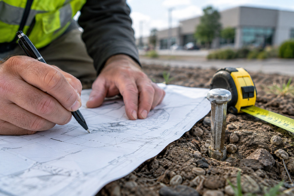
Start with the legal description, recorded plat, ownership information, easements, rights-of-way, and any access agreements. Then compare those documents with current site conditions. A boundary or topographic survey can identify visible and less obvious constraints, including utility corridors, shared driveways, fences, drainage features, and encroachments.
Accurate limits matter before locating buildings, signs, parking rows, retaining walls, or internal roads. A layout that appears workable on an old aerial image may conflict with a setback, easement, or property line once field information is collected.
Review Zoning and Land Use
Confirm the parcel’s zoning district and whether the proposed commercial use is permitted. Review applicable setbacks, height limits, lot coverage, parking requirements, landscaping rules, sign standards, and buffering requirements. Some uses may require additional review, such as a special permit, variance, rezoning, or conditional approval.
Local rules and application requirements can change, so the current ordinance and staff guidance should be checked before construction documents are completed. Treat zoning review as a design input, not a final paperwork step.
Plan Access, Traffic, and Parking
Evaluate road frontage, intersection proximity, sight distance, driveway spacing, customer traffic, deliveries, emergency access, pedestrian routes, and accessible parking. Internal circulation should allow vehicles to enter, park, load, turn around, and exit without creating conflicts.
When work connects to a state-maintained road, commercial entrances and other work in the highway right-of-way may require a Virginia Department of Transportation land use permit. Projects with higher traffic volumes or unusual turning movements may also need a traffic study or traffic memorandum.
Check Utilities and Service Capacity
Identify the available water, sewer, electric, gas, telecommunications, and stormwater services. Confirm connection locations, capacity, easements, extension needs, and possible relocation costs. A parcel may need special infrastructure, such as a private well, septic system, lift station, or on-site stormwater facility, depending on its location and the planned use.
Evaluate Drainage, Flood Risk, and Elevation
Study slopes, low points, existing drainage paths, streams, flood hazard areas, and downstream conditions. New roofs and pavement can change runoff patterns, so drainage planning should begin before building and parking locations become fixed. Grading, detention, retention, infiltration, erosion control, and long-term maintenance should be considered together.
Virginia construction projects may require reviews of erosion, sediment, and stormwater, as well as permit reviews. The state’s construction stormwater guidance explains that permit coverage can apply to qualifying land-disturbing activities, including projects that are part of a larger common development plan.
Order the Right Site Investigations
Useful early investigations may include boundary, topographic, utility, tree, wetland, and floodplain surveys. Depending on the property, a geotechnical report, soil evaluation, environmental review, or wetland delineation may also be appropriate. Field data supports decisions about foundations, grading, access, drainage, and construction methods far better than assumptions based on old records or visual inspection alone.
Identify Environmental and Community Constraints
Map streams, wetlands, steep slopes, protected resources, potential contamination, and historic features before the concept plan is locked in. Also consider nearby residences, schools, businesses, and other sensitive uses. Construction noise, lighting, dust, truck traffic, screening, and erosion controls can become important subjects during agency or public review.
Build a Complete Budget and Approval Schedule
A realistic budget separates land cost from surveys, design, reports, permit fees, utility work, sitework, landscaping, off-site improvements, and contingency funds. The least expensive parcel is not always the least expensive property to develop if it requires major grading, roadwork, drainage structures, or service extensions.
Create an approval sequence that includes zoning confirmation, technical studies, a concept plan, early coordination with planning and utility officials, formal applications, review comments, revisions, and final approvals. Allow time for questions and resubmittals rather than assuming every review will be completed on the first submission.
Keep the Project Team Coordinated
Commercial site planning commonly involves the owner, surveyor, planner, civil engineer, architect, contractor, utility providers, and public agencies. Use one current plan set and a shared system for decisions, revisions, approvals, and unresolved issues. Regular coordination before key submissions helps prevent inconsistent dimensions, conflicting utility locations, or overlooked site requirements.
Common Mistakes to Avoid
- Designing the building before confirming permitted uses and setbacks.
- Waiting too long to investigate driveway access and vehicle circulation.
- Relying on outdated surveys or incomplete property records.
- Underestimating utility extensions, grading, drainage, or off-site work.
- Leaving no contingency for review comments, changing conditions, or redesign.
- Failing to document easements and shared infrastructure responsibilities.
Final Checklist Before Detailed Design
- Property boundaries, easements, and access rights have been reviewed.
- Zoning, land use, setbacks, and parking requirements have been confirmed.
- Road access, traffic, loading, and emergency circulation have been evaluated.
- Utilities and service capacity have been investigated.
- Drainage, flood risk, grading, and stormwater needs have been addressed.
- Necessary surveys, studies, permits, costs, and approval steps are identified.
- All participants are working from current, coordinated plans.
Conclusion
Smarter commercial site planning in Stuarts Draft begins with answering the difficult questions before construction drawings are complete. By reviewing legal limits, zoning, access, utilities, drainage, environmental conditions, cost, and approvals early, a project team can make informed decisions and move toward construction with fewer avoidable surprises.